北京建筑工程学院教学大纲格式测绘与城空间信息学院.docx
《北京建筑工程学院教学大纲格式测绘与城空间信息学院.docx》由会员分享,可在线阅读,更多相关《北京建筑工程学院教学大纲格式测绘与城空间信息学院.docx(192页珍藏版)》请在冰豆网上搜索。

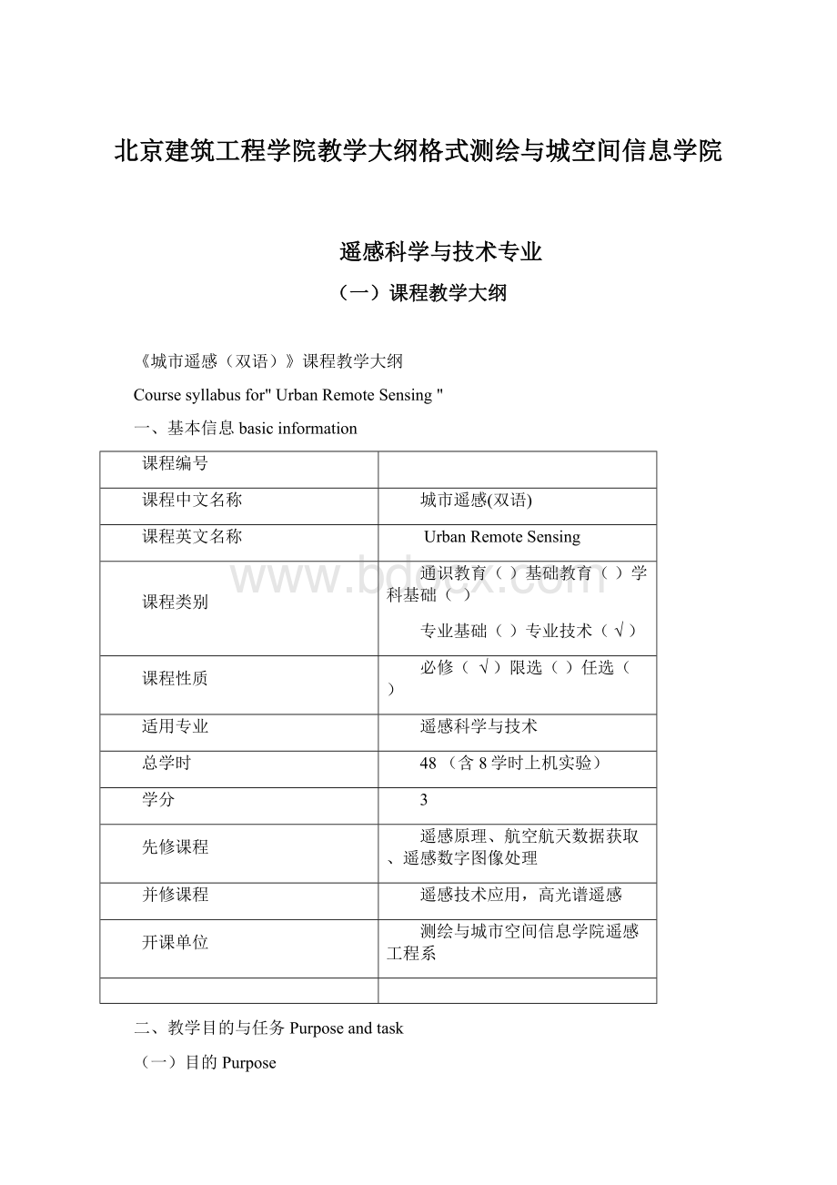
北京建筑工程学院教学大纲格式测绘与城空间信息学院
遥感科学与技术专业
(一)课程教学大纲
《城市遥感(双语)》课程教学大纲
Coursesyllabusfor"UrbanRemoteSensing"
一、基本信息basicinformation
课程编号
课程中文名称
城市遥感(双语)
课程英文名称
UrbanRemoteSensing
课程类别
通识教育()基础教育()学科基础()
专业基础()专业技术(√)
课程性质
必修(√)限选()任选()
适用专业
遥感科学与技术
总学时
48(含8学时上机实验)
学分
3
先修课程
遥感原理、航空航天数据获取、遥感数字图像处理
并修课程
遥感技术应用,高光谱遥感
开课单位
测绘与城市空间信息学院遥感工程系
二、教学目的与任务Purposeandtask
(一)目的Purpose
城市遥感是遥感科学与技术专业本科生的必修课,是一门以理论阐述为主,结合部分课内实验的专业技术课程。
本课程教学突出以学生主动学习为主,教学为辅的教学理念,调动和激发学生的学习热情。
本课程的教学目的是通过本课程的学习,使学生了掌握利用遥感技术解决城市中存在的环境、生态等问题,同时掌握目前国内外常用的高分辨率遥感卫星数据以及基本的图像预处理、图像分类等知识。
Urbanremotesensingisatechnicalcourseforundergraduatestudentsinremotesensingscienceandtechnology.Themainpurposeofthecourseisstressingonthecombinationbetweentheoryandpractice,basicconceptsandtheoriesaregiveninlecturesindetail.Practicesforthebasictechnologyaredesignedaswellwhichishelpfulforimprovingstudents’abilitiestoresolverealurbanproblems.Outcomesoflearningthiscoursearesupposedthatthestudentscanunderstandthebasicconcepts,majorsensors,satelliteimageprocessingandinformationextractiontechnologiesaswellastheapplicationofremotesensingtechnologyinurbanarea.
(二)任务Task
本课程的学习以教师讲授为主,同时辅之以讨论、课后作业、实例演示等手段,同时,为了提高学生对理论知识的理解,设置了8个学时的课内实验。
本课程的教学任务对城市遥感技术的基本理论知识、高分辨率影像的图像处理知识以及专题信息提取技术等,通过本课程的学习,使学生了解本专业的前沿发展现状和趋势,具有扎实的遥感科学与技术专业理论与技术知识,同时具有运用工程基础知识和本专业基本理论知识解决问题的能力,为学生日后从事工作奠定基础。
Formativeteachingplusactivelearningarethemajorteachingmethods,aswellasdiscussions,assignmentsanddemonstration.Forfurtherunderstandingtheknowledgeinremotesensing,thiscourseisdividedintotheoreticallessonswith40hoursandpracticallessonswith8hours.Thiskindofcoursedesigncanprovidestudentsaneffectivewaytounderstandthebasicprincipleandtechnologicalknowledgeinthedisciplineofurbanremotesensing,whichisveryhelpfulforstudentsfurtheracquiringtherelativeknowledgeandresolvingrealproblemsintheirfurtherjobs.
三、教学内容与要求ContentandRequirements
(一)城市遥感概述Overview2.0学时Credithours:
2.0
1、遥感的基本概念Basicconcepts
2、城市遥感的内涵Whatisurbanremotesensing
3、城市遥感发展与趋势Developmentsandtrendsofurbanremotesensing
要求:
了解城市遥感的基本概念、涉及到的遥感基础知识、技术和方法,了解城市遥感的发展现状、发展趋势和主要研究方向
Requirements:
getthebasicknowledgeonremotesensingandits’supportforurbanremotesensing,thestateofartinurbanremotesensingandits’developmentandresearchdirections.
(二)城市区域研究的遥感系统RemoteSensingSystemsforUrbanAreas
12学时(含2学时上机,6学时反转课堂)Credithours:
12(2hourslabexperience)
1、Landsat系列卫星的城市应用Landsatimageryforurbanstudies
2、亚米级高分辨率卫星的城市应用Opticalsub-meterhigh-resolutionsatelliteremotesensingforurbanapplications
3、高光谱数据的城市应用Hyperspectralremotesensingofurbanfeatures
4、高分SAR影像及其城市应用VeryhighresolutionSyntheticApertureRadarandurbanareas
5、Lidar数据的三维建筑物构造提取Three-dimensionalbuildingreconstructionfromlidar
6、上机:
适宜城市遥感的各类遥感数据特征Lab:
Remotesensingdatacharacteristicsforurbanremotesensing
要求:
掌握适合于城市尺度研究与专题应用的遥感数据及其特征
Requirements:
gettheknowledgeofsatelliteimagerycharacteristicssuitableforurbanremotesensing
(三)城市专题信息提取技术Imageprocessingalgorithmsandtechniquesforurbanattributeextraction
12学时(含4学时上机)Credithours:
12(4hourslabexperience)
1、面向对象模式识别及分类Anobject-orientedpatternrecognitionapproachforurbanclassification
2、城市特征亚像元分解技术Characterizingsub-pixelcompositionusingspectralmixtureanalysis
3、人工神经网络分类Artificialneuralnetworksforurbanclassification
4、多光谱影像的空间增强技术Spatialenhancementofmultispectralimagesonurbanareas
5、上机:
城市典型地表特征提取Lab:
Urbanattributeextraction
要求:
了解适合于城市地表典型特征的提取技术,掌握面向对象的分类方法
Requirements:
gettheknowledgeofurbanattributeextractionmethods;grasptheobject-orientedmethodsforurbanclassification.
(四)城市环境遥感UrbanEnvironmentalAnalysis
16学时(含2学时上机)Credithours:
12(2hourslabexperience)
1、不透水地面遥感Remotesensingofimpervioussurfaces
2、基于遥感的城市水文模型Roleofremotesensinginhydrologicalmodelingofurbanareas
3、城市化和生态多样性遥感监测Urbanizationandbiodiversity
4、城市扩张监测Measuringanddefiningurbansprawl
5、城市热环境遥感Urbanthermalenvironment
6、城市空气质量监测Airqualitymodeling
7、城市景观变化遥感监测Urbangrowthandlandscapechangemodelling
要求:
掌握城市环境遥感监测的主要方法和技术流程
Requirements:
understandthemethodologiesandtechnicalflowchartforurbanenvironmentalremotesensing;
(五)城市社会经济分析Urbansocioeconomicanalysis6学时Credithours:
6
1、城市人口估算Populationestimationwithhigh-resolutionremotesensingandLidar
2、夜光遥感及其应用Satelliteobservednighttimelightsandapplications
3、环境诊断分析IntegratingGISandRSforenvironmentaljusticeanalysis
要求:
掌握基于遥感的城市社会经济分析方法
Requirements:
understandtheprinciplesandmethodsforperformingurbansocioeconomicanalysisbycombiningGISandRStechnology.
四、学时分配表Credithourallocationtable
内容
content
讲授credithour
实验